Guide · Comparison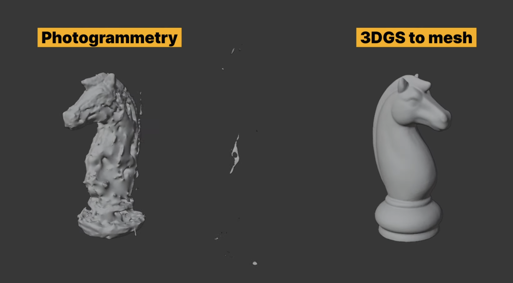
Photogrammetry vs LiDAR vs 3DGS.
Three ways to capture the world in 3D — compared on accuracy, speed, cost, and what each is actually good for. Rent the right reality-capture hardware in Singapore.
Three ways to capture the world in 3D — compared on accuracy, speed, cost, and what each is actually good for. Rent the right reality-capture hardware in Singapore.
Photogrammetry, LiDAR, and 3D Gaussian Splatting all produce 3D data, but they answer different questions. LiDAR is about measurement. 3DGS is about visual realism. Photogrammetry sits in between, trading hardware cost for capture discipline. Picking the right one starts with the deliverable, not the device.
| Photogrammetry | LiDAR | 3DGS | |
|---|---|---|---|
| Captures with | Overlapping photos | Laser distance measurement | Photos / video + training |
| Metric accuracy | Variable — depends on capture | High, directly scaled | Not measurement-grade |
| Speed on site | Slow capture, heavy processing | Fast with handheld SLAM | Fast capture, GPU processing |
| Lighting needs | Good, even lighting | Works in low light | Good lighting helps |
| Best for | Objects, facades, budget capture | Scan-to-BIM, as-built, survey reference | Photoreal walkthroughs, media, XR |
You do not have to pick just one. A single XGRIDS capture can feed both a measurable point cloud and a 3DGS scene, so the same site visit serves the engineers and the marketing team. Volumet rents the hardware; the outputs are yours to produce.
Tell us the deliverable you need and the site. We will recommend the right device from the fleet and confirm availability.
Request rental availability