Guide · Workflow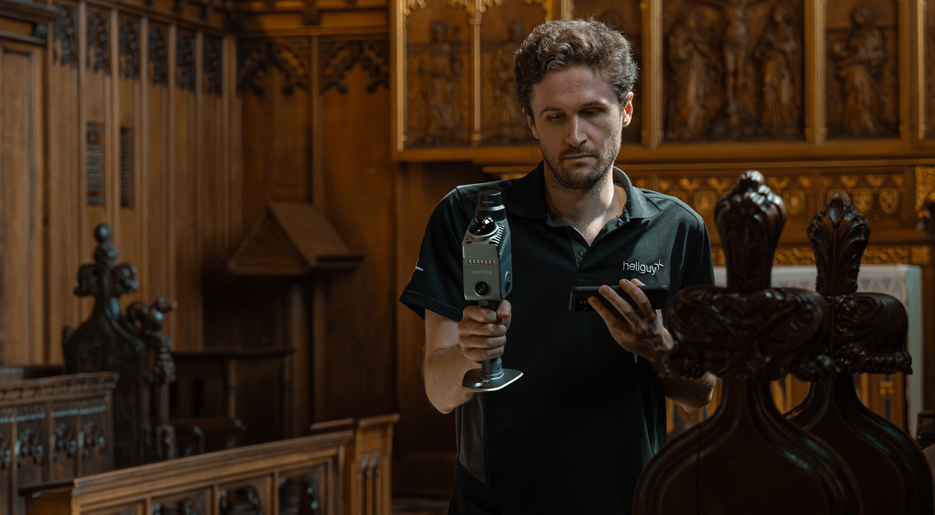
3D mapping with handheld LiDAR.
How handheld SLAM LiDAR makes 3D mapping fast — indoor, site, and corridor capture without a tripod. Rent the XGRIDS Lixel K2 or L2 Pro in Singapore.
How handheld SLAM LiDAR makes 3D mapping fast — indoor, site, and corridor capture without a tripod. Rent the XGRIDS Lixel K2 or L2 Pro in Singapore.
3D mapping used to mean a tripod, a sequence of fixed stations, and a slow march from one setup to the next. Handheld SLAM LiDAR changes the shape of the job: you walk the space and the scanner builds a registered point-cloud map in real time, using simultaneous localisation and mapping to stitch the path together as you move. A multi-level building or a long corridor that would take a day of station setups can be covered in a fraction of the time.
For most interiors and mixed sites, the XGRIDS Lixel K2 is the recommended mapper — handheld, built-in RTK, and a balance of range and accuracy that covers the widest set of jobs. When the work is large, outdoor, or corridor-heavy, the longer-range Lixel L2 Pro reaches up to 300 m and suits infrastructure-scale mapping.
Handheld SLAM is fast and flexible, but the result still depends on capture technique, loop closures, and processing. For tolerance-critical or survey-grade deliverables, plan control and verification, and agree requirements before capture. These are mapping and reference workflows — Volumet rents the scanner; the map you build from the data is yours.
Tell us the site type, area, and dates. We will recommend the K2 or L2 Pro and confirm availability.
Request rental availability