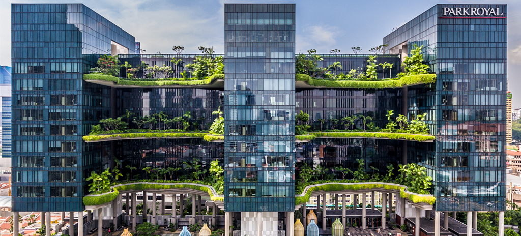
Most SLAM captures live happily in their own local coordinates. This one could not: the team needed a point cloud of a dense CBD site that would sit correctly against cadastral data and an existing site model, which means absolute coordinates, which means RTK. They rented an XGRIDS Lixel K2 from Volumet, chosen specifically because its RTK receiver is built in rather than bolted on, and planned the capture around one question: where on this site will RTK actually work?
RTK behaviour between towers
Dense urban Singapore is close to a worst case for satellite positioning. Towers block half the sky, glass facades bounce signals into multipath, and covered linkways cut reception entirely. The pattern the team found matches what any operator should expect:
- Open plazas and the road reserve gave quick, stable RTK fixes.
- Street canyons between towers were intermittent: fixes came and went, and the K2 rode through the gaps on SLAM, re-anchoring whenever the fix returned.
- Under overhangs, void decks, and indoors there is no RTK at all, and the trajectory is pure SLAM.
The practical rule that followed: start every walk in the most open sky available, hold still until the fix is solid, and route the walk so it revisits open-sky ground periodically instead of spending the whole battery in the canyons.
Control checks before trusting anything
Built-in RTK is not a substitute for checking. Before capture, the team marked a handful of well-defined points across the site: kerb corners, drainage grates, paint marks on open ground, several with known coordinates from the project’s existing survey. Every processed walk got compared against them. Where a scan agreed with control within the expected envelope it was accepted; one walk that had spent too long between towers disagreed noticeably, and was simply re-captured with a better route rather than forced to fit.
Merging multiple walks
The site was too large for a single battery, so the capture became five overlapping walks, each roughly a scene of up to 90 minutes, each starting and ending in open sky. Overlap zones were planned deliberately: shared corridors of geometry a few metres wide where adjacent walks saw the same facades and street furniture. In processing, the shared RTK frame did most of the alignment, the overlap geometry refined it, and the merged cloud was then re-checked against the control points as a whole before anyone downstream touched it.
Absolute vs relative accuracy, honestly
The two numbers do different jobs, and conflating them causes most georeferencing disappointment. The K2’s relative accuracy, around 1 cm within a local neighbourhood of the scan, is what makes measurements inside the cloud trustworthy: a doorway width, a kerb height, the gap between two structures. Absolute accuracy, around 3 cm RMSE with a solid RTK fix, is what places the whole cloud on the map, and it degrades where the sky does. On this site the open areas verified comfortably against control, while deep canyon stretches were treated as a few centimetres looser. For overlaying against cadastral and model data that was exactly fit for purpose; had the specification demanded survey-grade certification, that would have been a different scope with a surveyor in it, and worth saying so in the rental enquiry.
What went back, and what stayed
The scanner went back to Volumet at the end of the week. The team kept everything else: five raw scans, one merged and control-checked point cloud in absolute coordinates, and a capture log noting where RTK held and where it did not, which is the document that will save the next capture on this site half a day of guesswork.