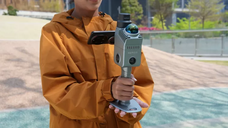
The short answer: handheld SLAM LiDAR scanners capture measurable 3D data while you walk: no tripods, no stations. In Singapore they rent weekly (Volumet’s XGRIDS Lixel K2 rents from S$2,300/week dry, subject to approval), which makes renting the rational entry point for most teams: you get professional capture for the project window without the five-figure purchase.
What SLAM actually does
SLAM (Simultaneous Localisation and Mapping) means the scanner continuously calculates where it is while building a map of what it sees. That single trick is what frees capture from the tripod: you walk a building at near-normal pace and the device assembles a coherent, colourised point cloud of everything you passed. Stairs, doorways, and cluttered rooms are simply part of the route.
How it compares to the alternatives
- Tripod / terrestrial scanners capture richer detail per station but need setups and registration: slower, more structured, higher per-station fidelity. See the workflow comparison.
- Phone LiDAR is great for exploration and small spaces, but range, consistency, and formats fall short at building scale. See K2 vs iPhone LiDAR.
- Photogrammetry produces visuals from photos but needs heavy processing and struggles with bare or repetitive surfaces, and gives weaker direct geometry.
What you can produce
Depending on device and processing: colourised point clouds (LAS, LAZ, E57, PLY) for measurement and BIM reference, meshes for review, and, in the XGRIDS ecosystem, 3D Gaussian Splatting scenes for photorealistic, browser-viewable walkthroughs. One capture, several outputs.
When renting makes sense
- Project-based need: a renovation survey, a milestone capture, a venue digitisation.
- Workflow evaluation before a purchase decision.
- Occasional cadence: quarterly facility documentation does not justify ownership.
- Budget reality: weekly opex clears approval faster than capex.
Ownership starts to win only when scanning becomes near-weekly and in-house processing exists. Until then, rental converts a capital decision into a project cost.
Choosing a device in the XGRIDS range
The Lixel K2 is the default: flagship sensing, built-in RTK, the full output path. The K1 suits fully indoor or training use. The L2 Pro is for long-range and corridor-scale work. The PortalCam is the dedicated 3DGS camera. When in doubt: K2.
Singapore considerations
- Glass-heavy interiors and long uniform corridors are the classic SLAM challenges here: technique (taught in onboarding) handles most of it.
- Dense sites and tight access windows favour fast walkthrough capture.
- Dry rental is subject to approval; first-timers should take the onboarding tier. Steady pace, planned routes, and loop closures are learnable in a single session, and most teams capture usable data the same day.
Limitations, honestly
SLAM accuracy is trajectory-based: feature-poor environments, rushed walking, and missing loop closures degrade it. Centimetre-class relative accuracy covers documentation and reference work, but it is not a certified survey instrument and no rental page should tell you otherwise.